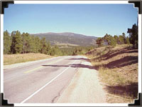
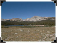
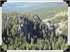
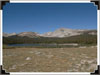
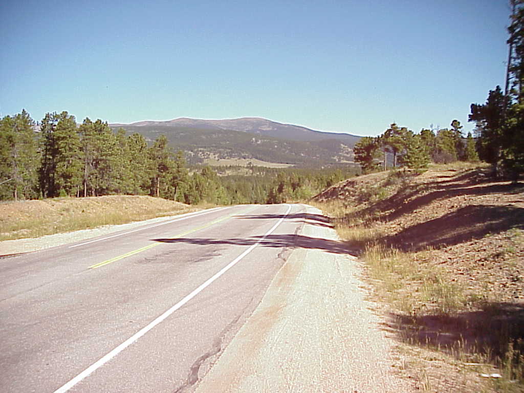
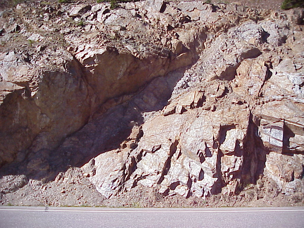
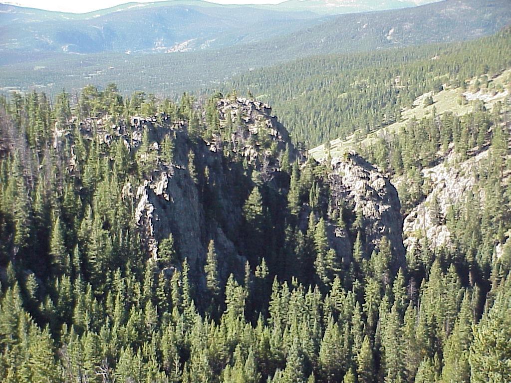
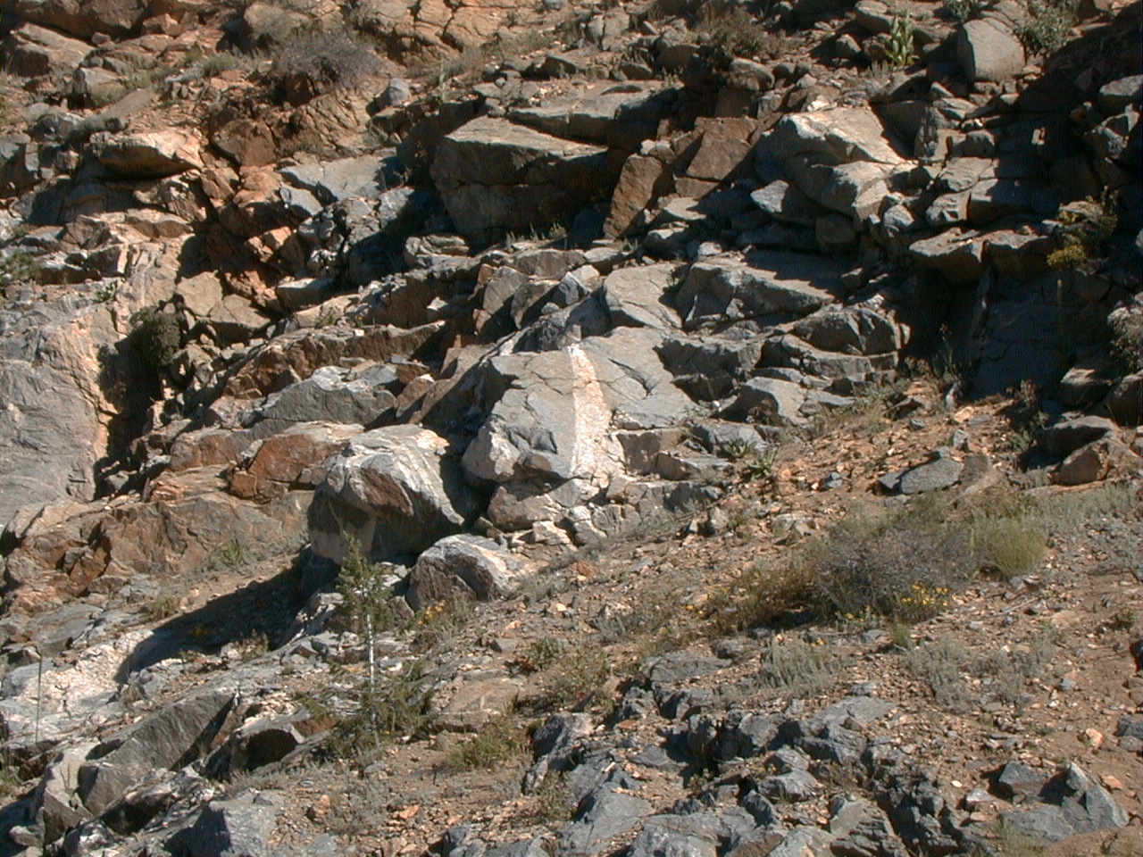
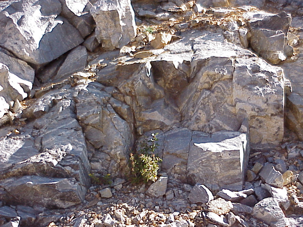
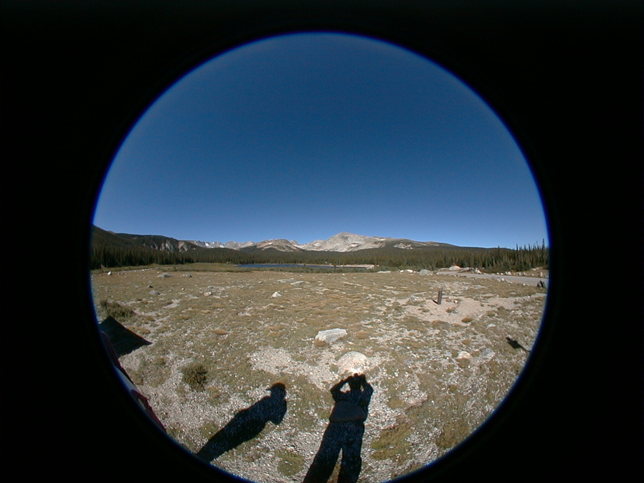
Peak-to-Peak

Odometer: 0.00

Colorado's Peak-to-Peak highway provides some of the most breathtaking scenery in North America. For the geologist, the beauty is not just in vistas of distant summits but closer to the road. Right beside the road in fact. To the geologist, the Peak-to-Peak provides some of the most interesting road cuts in the inner Solar System. Come with us as we travel north from Nederland to Estes Park and Rocky Mountain National Park with a side trip to Brainard Lake and the Indian Peaks Wilderness.

Stop 1

Back

Odometer: 1.10

As we look north, we see Mt. Audubon (13,233 ft). We have Ogden Tweto's Geologic Map of Colorado with us. According to it we are traveling through a region of Precambrian biotitic gneiss, schist, and migmatite. These metamorphic rocks range in age from 1.7 to 1.8 million years old and are derived mostly from sedimentary deposits.

Stop 2

Back

Odometer: 3.60

The rock in this roadcut appears shiny and a little green. It looks like the schist we read about. The regular platy fractures are spectacular and are caused by the flat-faced sheets of mica. What we thought was especially interesting is a seam of a black, shiny rock running through the cut. We took a hand sample with us and, if our Audubon Field Guide can be believed, the specimen is amphibolite.

Stop 3

Back

Odometer: 6.10

Here, the left edge of the road just drops away and we find ourselves looking out upon an enchanted landscape of granite pinnacles. Consulting our geologic map, this granite appears to be Precambrian in age (1.6 to 1.7 million years). You can see how the edges of this formation have spalled away, giving the rocks a rounded appearance.

Stop 4

Back

Odometer: 6.20

Here we stop to look at a large, slightly pink pegmatite. We examine a hand sample and notice the perfect cleavage. According the Audubon Guide it is orthoclase feldspar. These pegmatite may have forced their way up through the fractures in the the rocks as recently as between 24 to 29 million years ago.


Stop 5

Back

Odometer: 7.50

Here is an outcropping of highly meta-
morphosed gneiss. It is composed of mica, hornblende, quartz, feldspar, and a little biotite. The original shale, which contained mostly clay minerals and some very fine sand and silt, was converted into biotite schist. The layers with more sandstone were converted into biotite gneiss.

Stop 6

Back

Odometer: 10.1

At Ward we turn west up to Brainard Lake. We go from 9250 feet to 10,300. We climb out of the Precambrian formations and into Quaternary glacial deposits. Everywhere you look you see boulders. Each is different from the one next to it. This picture is taken on the shore of Brainard Lake, looking west at the Indian Peaks. We see Audubon, Toll, Pawnee, Shoshoni, Navaho, and Arikaree.

Recap

Back

Tap a photo to go directly to that stop.


Stop 1 Enlargement

Back

Stop 2 Enlargement

Back

Stop 3 Enlargement

Back

Stop 4 Enlargement

Back

Stop 5 Enlargement

Back

Stop 6 Enlargement

Back